Environmental research and geospatial consulting
Integrative Insights is an independent research consultancy providing geospatial analysis, remote sensing and mixed-methods research for projects concerned with land, water and conservation.
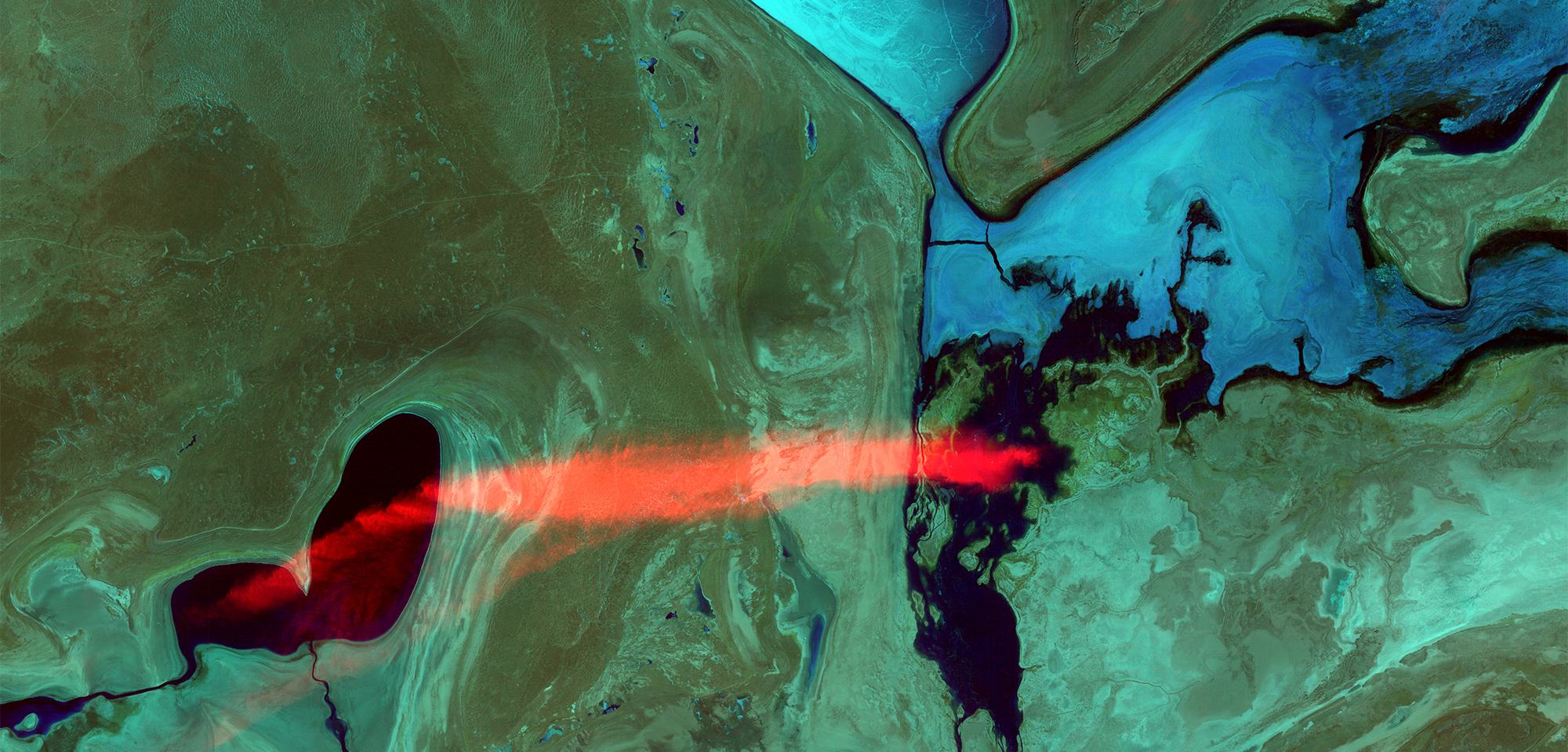
Background: “Bleeding Heart”, Landsat 8. USGS Earth as Art collection, public domain.
Services
Each engagement is scoped to the client's question and typically combines several of the following. Full list of services.
-
Geospatial analysis and remote sensing
Mapping and measurement of environmental change from satellite imagery, aerial photography and GIS data, including wetlands, flood extent, fire history, land cover and forest condition.
-
Historical and environmental baselines
Reconstruction of past landscape conditions from historical maps, aerial photographs, survey records and archives, aligned with present-day data.
-
Mixed-methods and social research
Interviews, participatory mapping, discourse analysis and social network analysis, designed together with the spatial analysis so that quantitative and qualitative findings can be read side by side.
-
Expert evidence
Geospatial analysis prepared for legal proceedings and presented for non-specialist readers.
Founder
Integrative Insights is led by its founder, Stephen Chignell, PhD, an environmental researcher with more than a decade of experience in geospatial analysis and interdisciplinary research. His previous roles include expert witness in the Federal Court of Canada, U.S. Water Expert with the U.S. Department of State, and team lead in the NASA DEVELOP National Program.
Sectors
Services are offered to conservation and environmental organizations, Indigenous and community organizations, legal teams, research institutions and public agencies. All work is delivered remotely.